Grabble Table
The Grabble Table is a multi-touch application that enables intuitive route planning with the BVG's means of transport for several users at the same time.

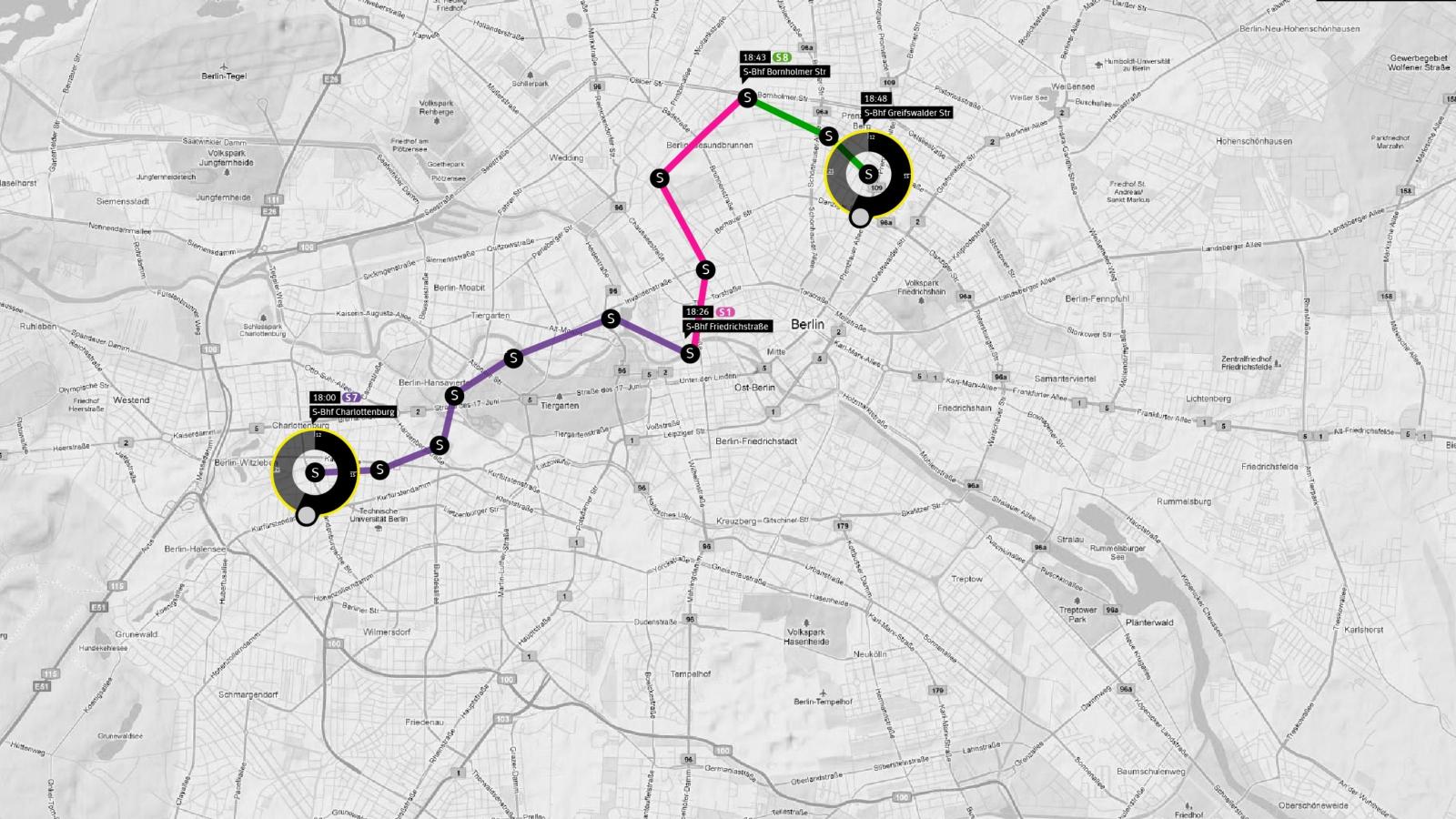
The Grabble Table is a multi-touch application that enables intuitive route planning with the BVG's means of transport for several users at the same time. In contrast to the abstract underground map, the routes through the city and its districts can be better understood and new places discovered.
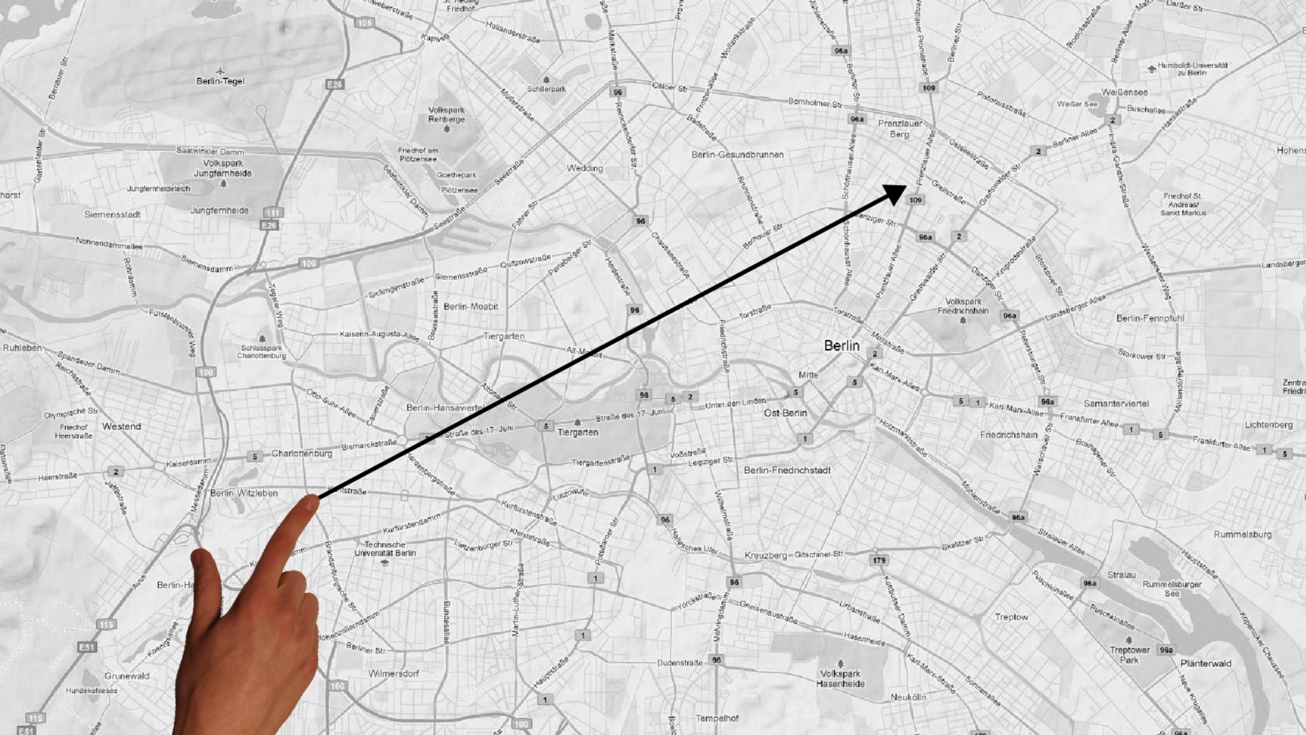
The route planner is activated by a simple dragging gesture from the starting point to the end point of the desired route. The route is then automatically calculated and visualised on the table.
The tourist layer is particularly interesting for visitors to the city of Berlin. It is dragged from one side of the table to the other and thus displays interesting places and sights. In addition, with the help of the Flickr Api, this layer visualises the places where the most photos have currently been taken. To remove the layer, simply drag it back to the other side of the table.
The project is primarily aimed at tourists who are not familiar with the respective location, but also at people who want to quickly find out how to get from A to B on the spot. Possible locations for the Grabble Table are all public transport locations.
The mobile version of the BVG website was used for route calculation. A session with successive requests was simulated and finally the HTML was parsed. To get the geo-positions of the stops, a list with all registered stops was loaded from the database of OpenStreetMaps. Since the names of the more than 1000 stops did not match those of the BVG, but a concrete request was to be made without selection options, all names were sent to the BVG in a separate request series and the first entry of the following selection options was assumed to be the correspondingly correct name. This could now be linked to the geodata and thus transferred to the BVG in the request.
Project participants
Project management

Prof. Dr. Frank Heidmann
Students
- Alyssa Travkina
- Hermann Dettmann
- Mischa King
- Roland Heuger
